I woke at 5:30 to birds singing. It had not been cold AT ALL overnight. After a Mexican croissant and some cappucino (instant powder), I packed up. It was hard to feel the time of day, as it was heavily overcast. I probably left at 8:45 or so.
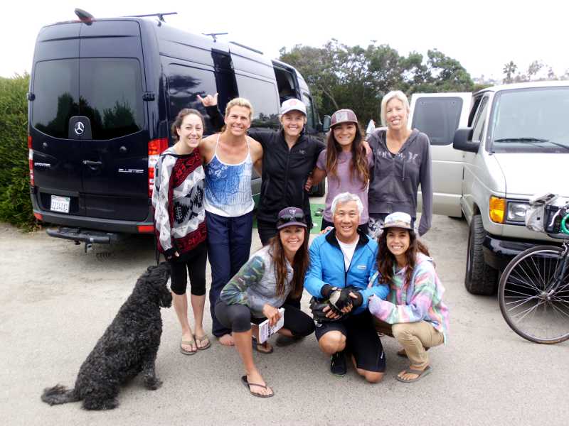
The previous day, I never did go over to talk with the surfer girls, but did wave to them as I was leaving, which led to some short conversation. Turns out, they’re all surfer moms, some who have known each other for a long time, and some who they just met in the beach. Lena’s whole family surfs, even the children, but this expedition was girls-only.
Although I had positioned my tent at maximum distance from their site, one of them said I snored. Yeah, I know. Sorry, ladies!
I stopped in Del Mar to use the public library. I’m beginning to realize how crucial libraries are to travelers, both for internet, and recharging. Fortunately, the library opened at 9:30, just 20 minutes after I arrived. I stayed until 11, knowing that the day’s ride should have been short.
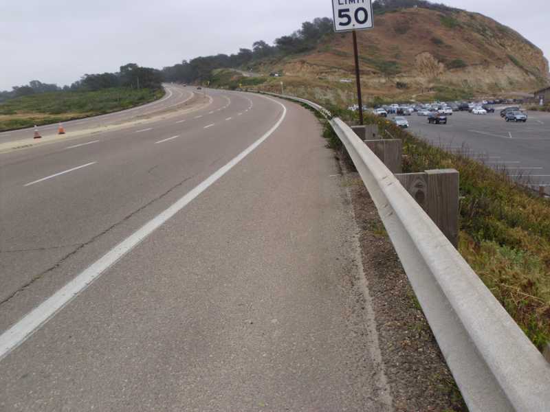
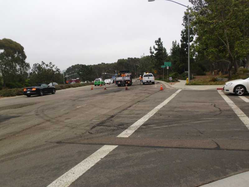
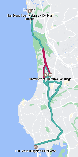
What should have been a simple 90-minute, 11-mile ride, turned into a frustrating, 5 1/2 hour, 31.3-mile ride. I’m tempted to tag this day as “hard,” but won’t. For each of the hard days, there were learnings. Learnings about Google Maps today: The chevron (arrow) indicates the direction of travel, not which way the phone is pointing. Maps for Bicycle will not tell you if you are going the wrong way. If you reach an intersection where you can only turn left, and Maps tells you to turn right, you are going the wrong way. If the distance to the next turn is going up instead of down, you are going the wrong way. If the time to destination is going up, you are going the wrong way.
Some of the difficulty is my own doing, either by stupidity or design. For example, I’m continuing to carry a full gallon of water in my packs, even though there has been ample water since San Luis Obispo, and the space and weight could have been used for other things on this segment. There will be no water spigots in the desert.
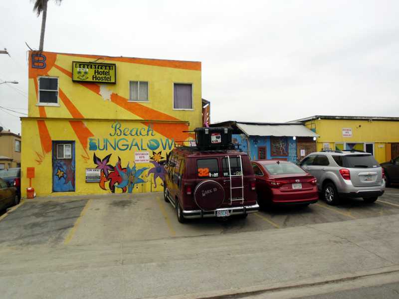
It ended well. The hostel is nice, my shoes are so comfortable, and the Desitin worked. I had a shower here, then walked out to Thai Coconut restaurant, which was actually owned by Laotians.
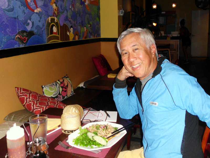
I’m spending a full 3 days here, to gather supplies, strategize, and attend church.
Miles: 55 (estimate, including getting lost)