The hostel seemed to clear out after the weekend. On Sunday night, the two Brazilian guys and myself went to sleep in our dorm room. I left the light on, as it was only maybe 10:30 pm, and there were still so many empty beds. I didn’t notice that no one else came in until 3:45, when Angela came in (perhaps finishing night shift?) I went back to sleep until just before 6.
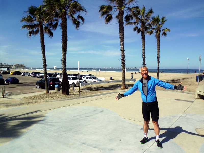
I got out of the hostel at 9:15. It would have been most efficient to turn left at the intersection of the Pacific Coast Route and Southern Tier Route, but I turned right, in order to get to the official start of the Southern Tier.
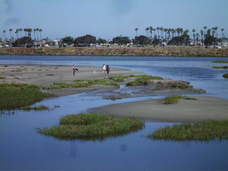
There were a fair number of tents or just people sleeping at tables or under trees near the bike path. One pair may have been surfers – I saw wetsuits hanging up to dry. But I think most of them were homeless.
I took a side trip to Big 5 Sporting Goods, and used my 10% off coupon to get 3 freeze-dried meals. Those would be my food if I had to improvise in the desert.
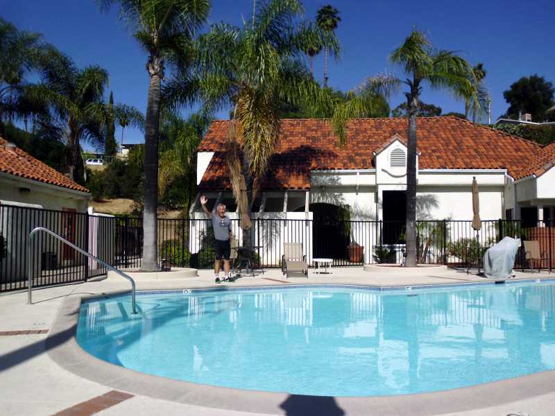
The Adventure Cycling maps listed motels in Santee, which was where I originally had planned to stay. But there was nothing about the motels being OFF ROUTE, so I expected them to be in plain view somewhere. I never did see them, so I continued on to the next town, Lakeview. That town was listed as having no motels, only campsites. I stopped at a small grocery in Lakeview, got a coconut popsicle (my favorite), and asked the cashier whether she knew where the RV park was. Simple, just down the road half a mile on the left.
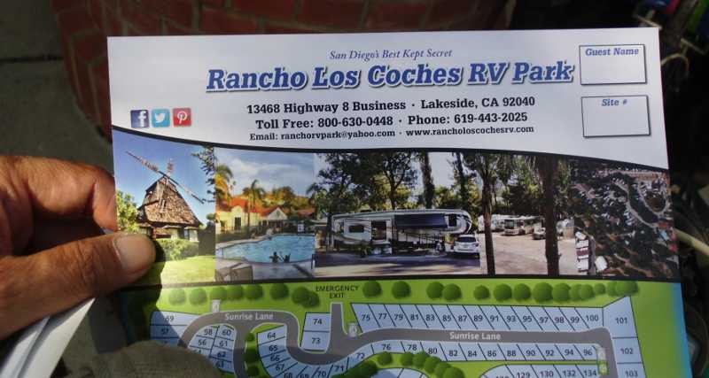
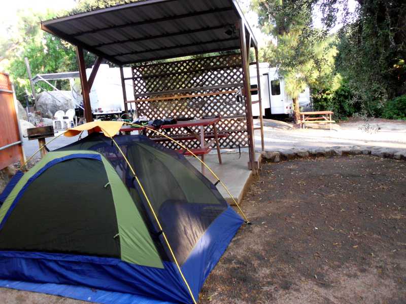
I’m updating the blog here at the picnic table, even though it’s night. Basically, I have all the advantages of a motel that I care about, at a fraction of the cost.
The disadvantage of an RV park over a campground is that many of the residents of the park are long-term, so it’s just like any other suburban area. People stay in their homes, and there isn’t much socialization.
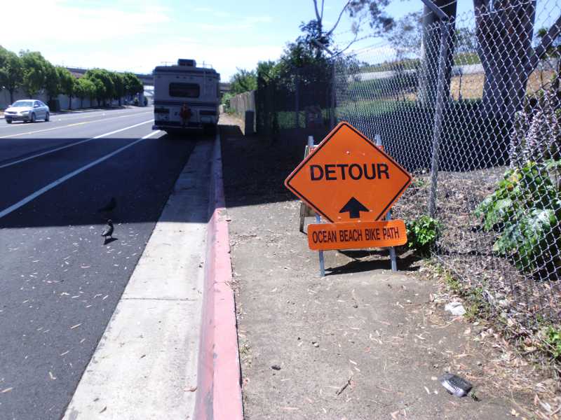
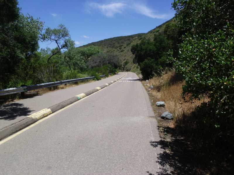
I don’t care much for the urban riding segments of this trip. Too many turns, too much figuring out where the bike path is, constantly needing to be alert for street names, and cars in driveways. Hopefully the route will be more simple in the coming days in the desert; the kind of riding I find meditative.
The frogs at night are loud here. Doesn’t bother me, though.
Tomorrow, I hope to make Pine Valley. Google says it’s 4 hours away by bike, which means at least 6 for me, not counting lunch. It’s only about 30 miles away, but almost 4000 feet of climbing. Like doing Mt. Hamilton back home, except with full packs. If I can’t make that, I can stop at Alpine – but that still sounds like its a serious climb, doesn’t it?
Miles for the day: 37.5