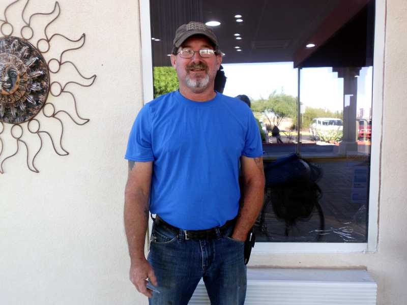
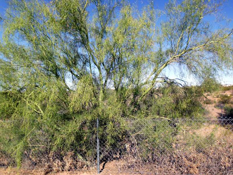
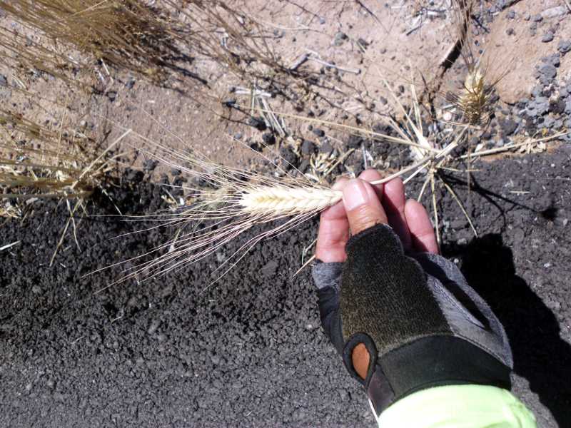
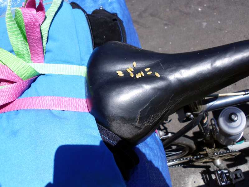
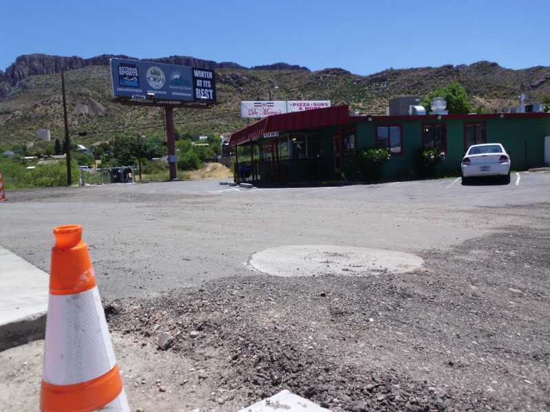
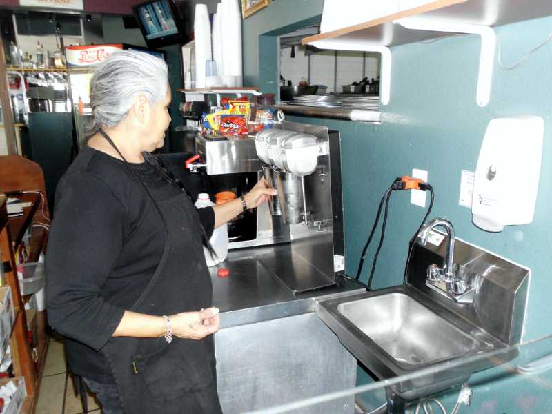
At 4:55 am, I woke and took this picture out my window.As I was rolling my bike out the door at 7:50 am, met Craig. He’s a cell tower technician, and has traveled all over the country for his job, including Alaska and Hawaii.For Reuben: is this the Green Stick tree?Google directions for bikes told me to turn on El Camino Viejo, instead of staying on Hwy 60, which is a straight shot to Globe. The road was excellent until one mile in, when the voice told me to turn right onto this road.Are you kidding me?!! I turned around and went back to Hwy 60. On the way, I met some local hikers, who confirmed that it’s miles and miles of sand and dirt that way.Back to Hwy 60. Nothing wrong here. Google for Bikes needs a lot of work.Near the top of Gonzales Pass, I snapped this picture. That dry grass in the foreground looks like wheat.Close up, it still looks like wheat.I rubbed a bit of it between my fingers and let the chaff blow away. Definitely wheat kernels. Wonder how it got there?It was a climb, but a gradual one, to the town of Superior, where there was a lot of construction going on. I stopped at the last restaurant at the edge of town, Di Marco’s.What I was craving was a milkshake. I’ve been having a lot of ice cream on this trip. It has water, calories, and cools me off. Sylvia made a real milkshake for me with scooped ice cream.
Sylvia told me that the road ahead was rough, and steeper than what I had rode earlier in the morning. She said it was 3 miles climbing to Oak Flats, 8 miles to Top of the World, then mostly downhill.
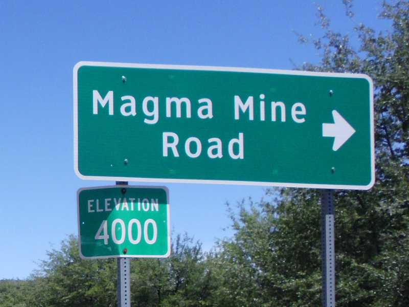
It was a tough climb after Superior. At the summit, I looked back and saw this sign.Oak Flats is at 4000 feet.I didn’t drink the entire way up, as I needed to focus on the rhythm of pedaling. At the top, I drank half of one of the bottle Sylvia had filled with ice water. It was still cold, and refreshing.This can’t be bad.
In fact, it was not straight down, and there was still a 6%, 2 mile climb. But not once all day did I need to use the granny. Just slow, steady rhythm for climbing.
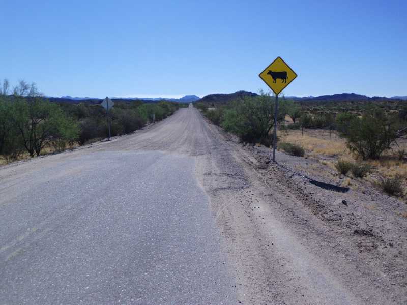
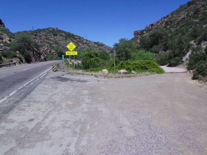
Google told me to take the road on the right instead of staying on 60. The road was marked private property, no trespassing, and was dirt. Fool me twice, shame on me. I stayed on 60, and watched the other road below. In a half mile, the dirt road came to a closed gate.
I’m learning that the reliability of sources is roughly in this order:
Advice from local people in their 50’s or 60’s.
Adventure Cycling Maps
Other people who don’t know, but look it up on their smart phone
My own intuition
Google directions for bike
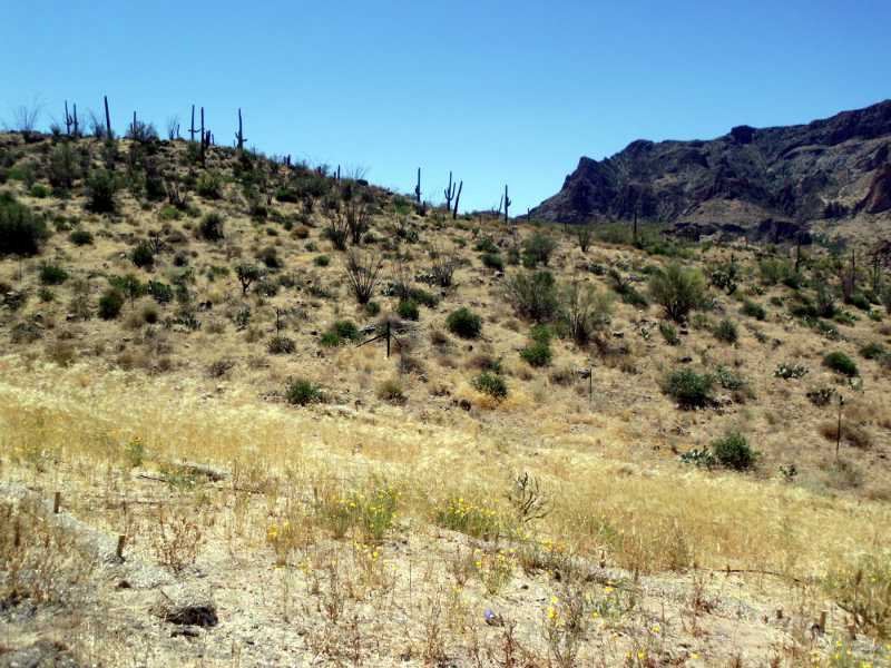
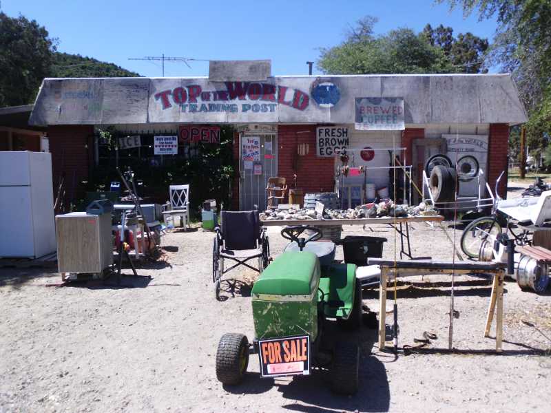
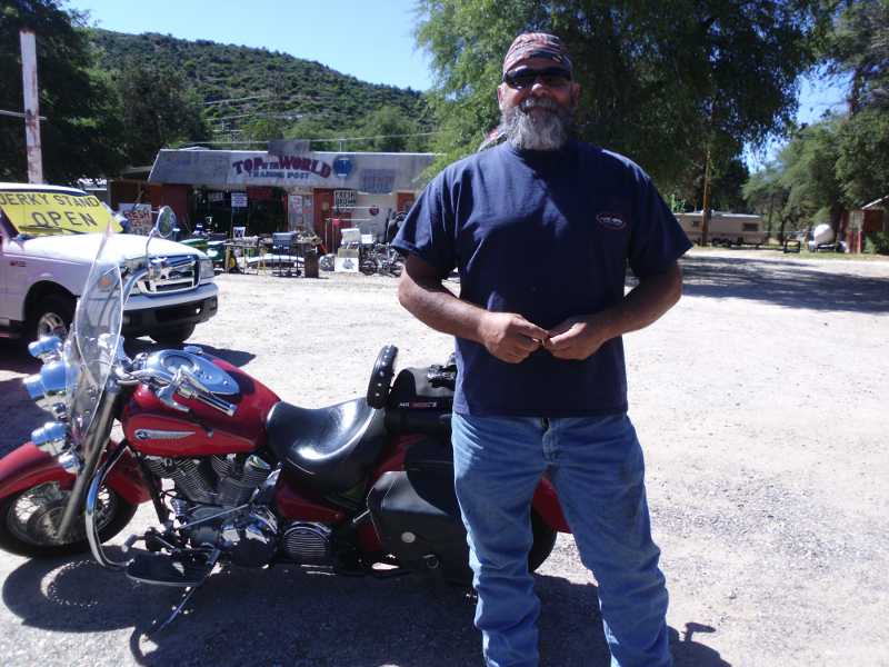
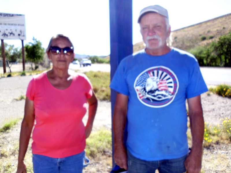
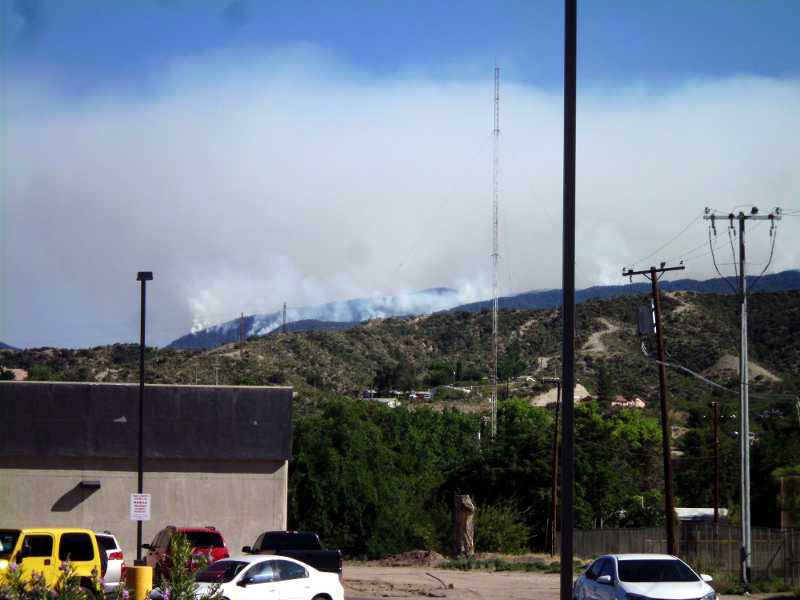
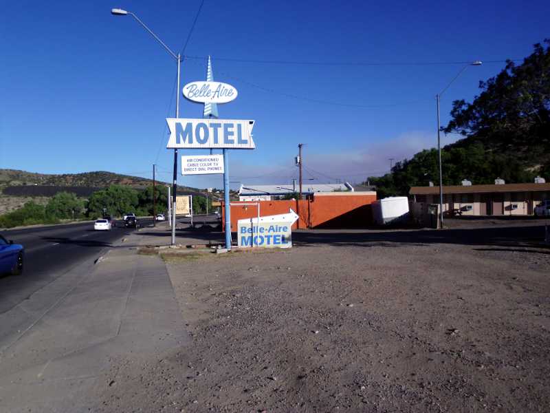
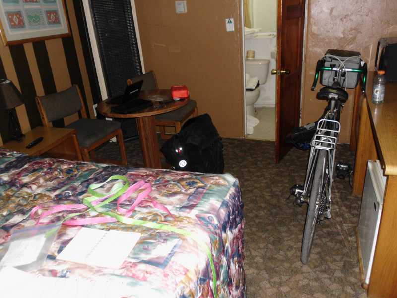
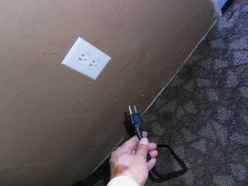
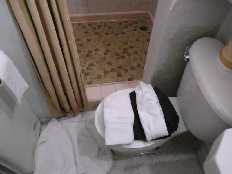
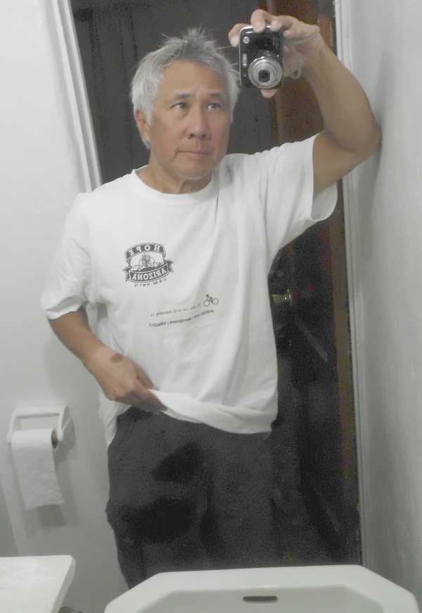
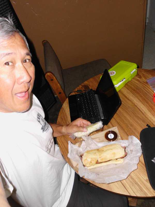
This is Top of the World. I like that name, because it suggests that there’s not going to be more climbing ahead. The woman at the store said it was 9 miles to Miami, and another 5 to Globe.I met Scott outside the store. He’s local, from Florence Junction, and said that it’s normally much hotter.I saw this in Miami, AZ. It’s right across the street from the Southern Baptist Church.Finally, I reached the outskirts of Globe, where I met Diane and Tony. They were in a parking lot with a sign that said they needed work, and their house burned down. Diane pointed out the forest fire on the hill, which I hadn’t seen. Tony was technically literate, and carried an unactivated android phone like me, which he uses with wi-fi. He said if he wanted to get a plan, it would be $40 a month for unlimited, but after 2 gig, they drop the 4G down to 3G. We all spoke for maybe 10 minutes. Diane said that there was one motel right in view, but the cheaper ones were over two small hills ahead.Tony and Diane said the fire was contained, but not actively being fought, as it was just an irrigation canal up there.Over the two hills, this looked like a likely budget motel. It was $40 for the room, and had wi-fi.The room is smaller than Motel 6, but is quite sufficient.The manager said to find the black cable in the room and plug it in, then everything would work.The bathroom had a nice feature – the toilet is right next to the shower, providing a convenient place to put my clothes while showering.After my shower, I realized that the water had sprayed onto my pants. No matter, things dry really fast in the desert.I rode out for supplies. At Circle K, I got an apple fritter, breakfast sandwich, and lunch sandwich. Then I went to a BBQ restaurant. As it was already past 6, I got it to go so that I wouldn’t have to ride at dusk.
Tomorrow may be my longest day, yet. 2500′ of climbing, compared to 4300′ today, but 78 miles to the next lodging. Diane, who has some Apache blood, told me not to wild-camp on the San Carlos Reservation, which is 44 miles of my route. So if I get caught by darkness, hopefully it will be beyond that.
Miles today: 58.1, lots of climbing
(Visited 210 times, 1 visit(s) today)
“Top of the World” seems a rather pretentious name, for 4000′ elevation or less…
I have to say that I am impressed that you are finding WiFi so easily in these obscure, small town locations, and that you aren’t paying extra for it.
Motel 6 in Apache Junction had 11.5/1.6 Mbps, but it’s basically Phoenix. That was at 5 am in the morning, when I assume most of the other guests were asleep. The Belle Aire appears to have 1.5 Mbps, at a similar time. It serves.
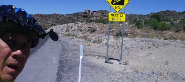
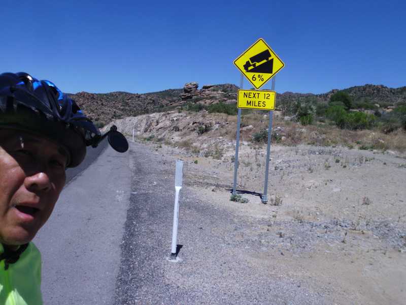
Top of the World was another climb from 4000 feet. The sign advising 6% downhill was not entirely accurate – I suppose it meant that the next 12 miles included 6% grades. Kind of like the useless sign before Phoenix that said, “Watch for Animals next 120 miles”.
Grade warnings give truckers plenty of notice of what’s ahead when it might not be easy to slow down or pull over once they get going. Was there room for a truck to stop on the side of the road in the vicinity of the 6% downhill sign? Good place to let engine and brakes cool and check things before continuing.
Wildlife warnings for huge distances are good reminders to stay alert when driving long desolate voids, especially at night when people are apt to drive fast and animals are more likely to wander onto highways.
How’s the traffic on Hwy 60? Looks like a nice scenic drive in Google Earth street view, but it also looks like a truck route. No problem with lack of shoulders and the tunnel just past Superior?
Yes, there was absolutely a long stretch of parallel parking where trucks could pull over at the top.
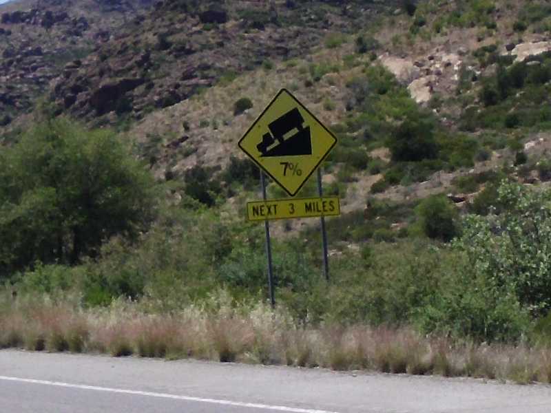
What I wish was that there was a cyclist’s sign before the hill that said, “7% climb, next 3 miles.” It would only have to be about 1 foot square, and 3 feet off the ground.
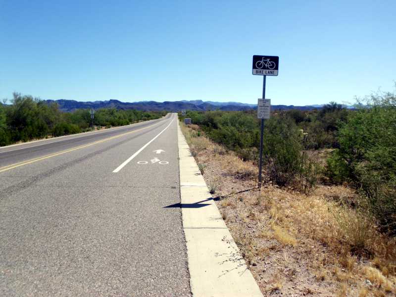
There were big rigs on 60, but also, the road was newly paved, with smooth shoulders as wide as a car lane for most of the way. Not really a problem, and far better than walking the bike through sand for a mile, let alone many. People warned me about Hwy 60, but I think their experience may have been from before the re-paving that happened just a few months ago.
Because of the grade, the tunnel took forever to get through. I thought about turning on my red rear flasher before entering, but that would have meant dismounting, and remounting on a 7% grade is not a simple matter. The tunnel was well lit, I stayed to the right, and had no problems. I later realized that it has a sidewalk to the right, so I could theoretically have walked my bike through the entire length of the tunnel.
Would have liked to get a picture of the tunnel, but that would have broken my concentration from pedaling.
Thanks, Scott! At last, an authoritative answer from a local. I stayed in a town called Palo Verde back there, but didn’t even think about what the name meant.
“Top of the World” seems a rather pretentious name, for 4000′ elevation or less…
I have to say that I am impressed that you are finding WiFi so easily in these obscure, small town locations, and that you aren’t paying extra for it.
Motel 6 in Apache Junction had 11.5/1.6 Mbps, but it’s basically Phoenix. That was at 5 am in the morning, when I assume most of the other guests were asleep. The Belle Aire appears to have 1.5 Mbps, at a similar time. It serves.
Top of the World was another climb from 4000 feet. The sign advising 6% downhill was not entirely accurate – I suppose it meant that the next 12 miles included 6% grades. Kind of like the useless sign before Phoenix that said, “Watch for Animals next 120 miles”.
Grade warnings give truckers plenty of notice of what’s ahead when it might not be easy to slow down or pull over once they get going. Was there room for a truck to stop on the side of the road in the vicinity of the 6% downhill sign? Good place to let engine and brakes cool and check things before continuing.
Wildlife warnings for huge distances are good reminders to stay alert when driving long desolate voids, especially at night when people are apt to drive fast and animals are more likely to wander onto highways.
How’s the traffic on Hwy 60? Looks like a nice scenic drive in Google Earth street view, but it also looks like a truck route. No problem with lack of shoulders and the tunnel just past Superior?
Yes, there was absolutely a long stretch of parallel parking where trucks could pull over at the top.
What I wish was that there was a cyclist’s sign before the hill that said, “7% climb, next 3 miles.” It would only have to be about 1 foot square, and 3 feet off the ground.
There were big rigs on 60, but also, the road was newly paved, with smooth shoulders as wide as a car lane for most of the way. Not really a problem, and far better than walking the bike through sand for a mile, let alone many. People warned me about Hwy 60, but I think their experience may have been from before the re-paving that happened just a few months ago.
Because of the grade, the tunnel took forever to get through. I thought about turning on my red rear flasher before entering, but that would have meant dismounting, and remounting on a 7% grade is not a simple matter. The tunnel was well lit, I stayed to the right, and had no problems. I later realized that it has a sidewalk to the right, so I could theoretically have walked my bike through the entire length of the tunnel.
Would have liked to get a picture of the tunnel, but that would have broken my concentration from pedaling.
The green stick tree is called a Palo Verde tree which is Spanish for green pole.
Thanks, Scott! At last, an authoritative answer from a local. I stayed in a town called Palo Verde back there, but didn’t even think about what the name meant.