The tour was supposed to be over, and this was supposed to be an easy day. It turned out to be the second hardest riding day, if not the hardest.
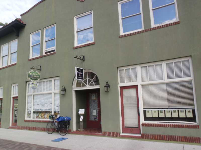
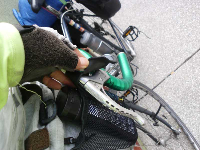
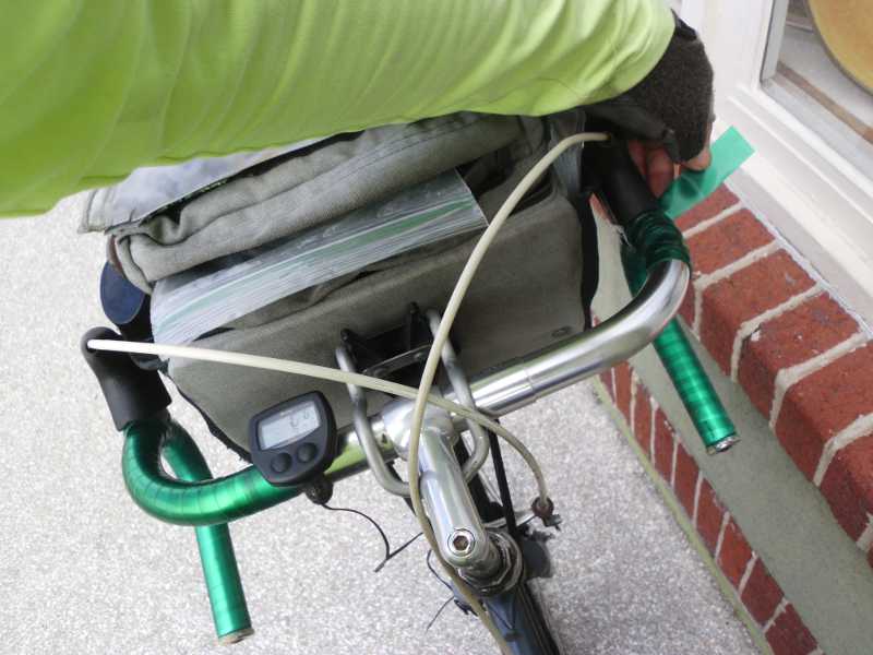
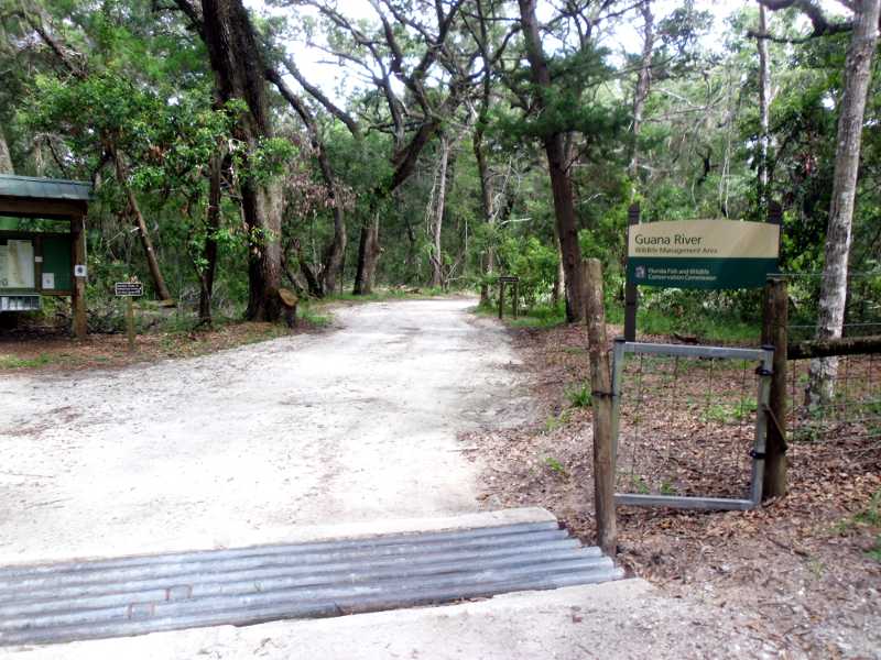
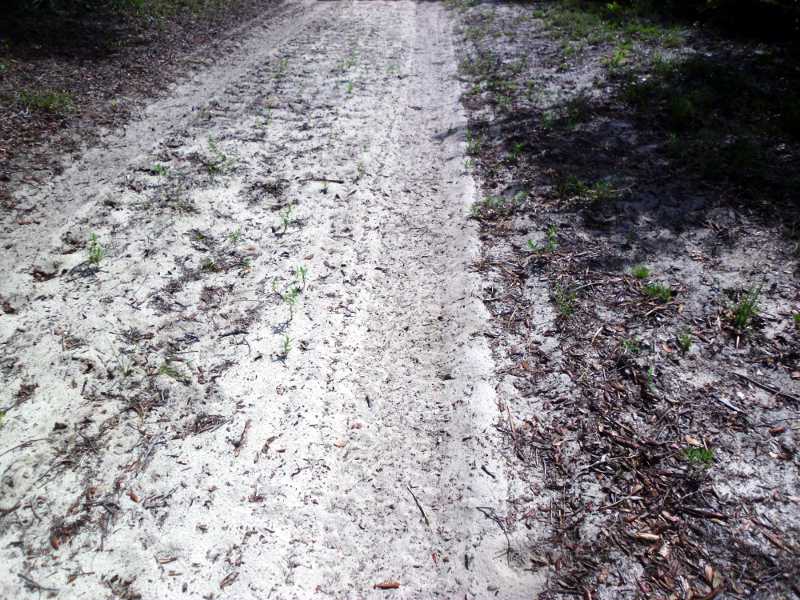
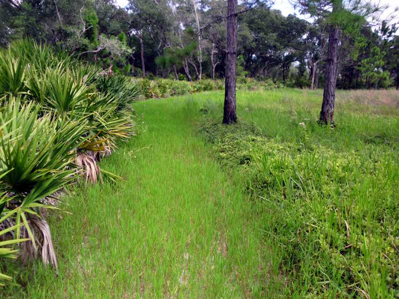
Ready to leave the Pirate Haus Hostel.Things are wearing out on my bike. The brake hood split on one side.The handlebar tape is peeling on the right side. I tied it off for now.Google Maps took me along highway A1A, along a narrow strip of island on the Atlantic. It was about 10 miles of beach houses built on what was basically a sand bar, with public beach access at various points.Google had me turn left off A1A onto Guana Rd, which took me to a Research Conservation Area. It was a dollar for me to get in on my bike, and there were very few people there. Once I got past the parking lot, I saw no one. I kept checking my Google Map to be sure that they wanted me to go onto what was basically a dirt trail. Apparently so. I had 35mm tires, so was able to ride on hard-packed dirt. But the mosquitoes swarmed thick. I stopped to spray repellent on. But the annoying whine around my ears was still there. I got a few bites. Not a major issue, as I’m resistant to this type of mosquito. One big thing bit me on the front of my left calf. Might have been a horsefly. I slapped it, but couldn’t really look, because my effort was directed to staying on balance and moving forward.The path degraded into soft sand that was impossible to ride on, and very tough to walk and push a sinking bike through. About a mile of this naked sand, at 1 mph. Fire ant mounds. I found it was a little easier to walk on the side of the road where there was some ground cover. It was still hard to walk.The sand path ended at a T intersection with a harder packed dirt road. But then, Google told me to turn right. Turn right where? There was no intersection. I had to walk the bike 50 yards at a time in various directions to determine that Google wanted me to go this way. The voice from Google Maps told me to continue for 7 miles. You’re f—ing sh—ing me!. I was trapped. The only way off the island was to backtrack through 2 hours of sand. This was soft sand, with grass sprouting on it. After 100 yards, it turned into high brush, taller than me, on the path. Stickers on the ground, collecting on my socks, and goatheads sticking on my tires. Fortunately, I had Schwalbe Marathon Plus tires, and also tire liners, so I could pull the thorns out every once in a while with no punctures. It hurt my fingers to pull prickly thorns embedded in my tires and socks. As usual, I had no pictures of the worst part, because I was focused on getting through it.
The worst part of this was not knowing whether it would be miles and miles of this hard trail, or just a little bit.
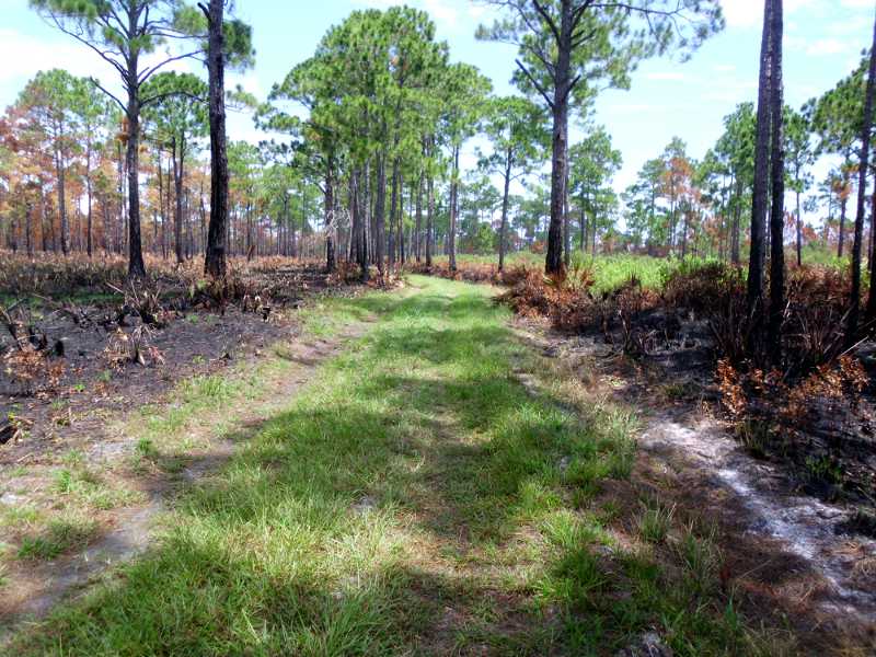
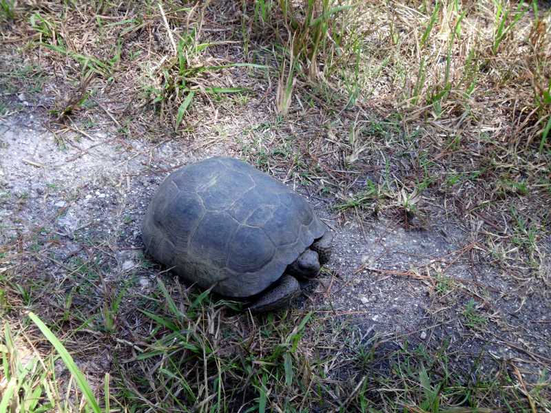
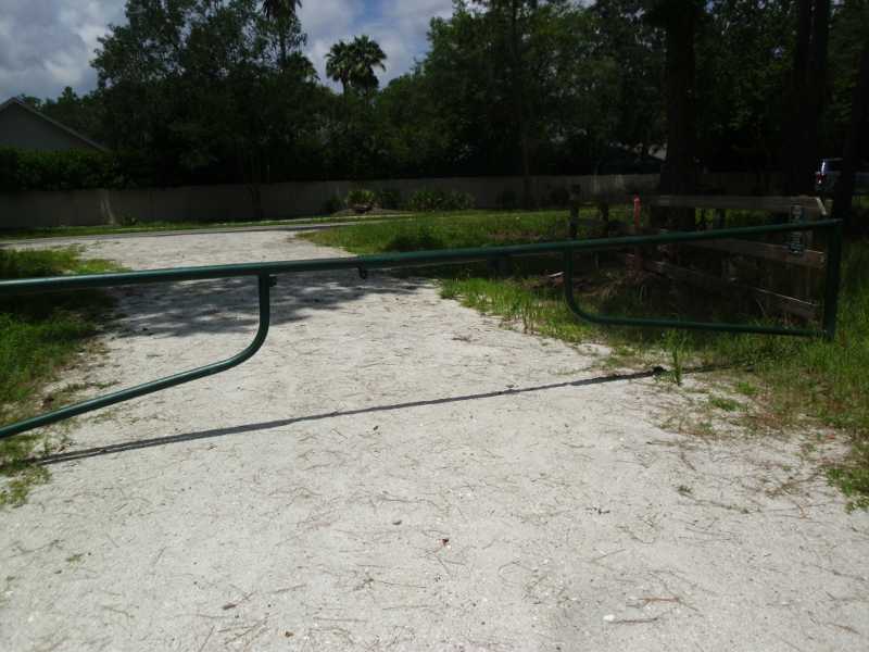
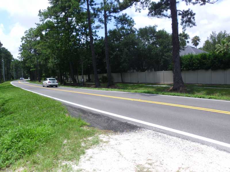
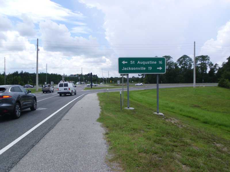
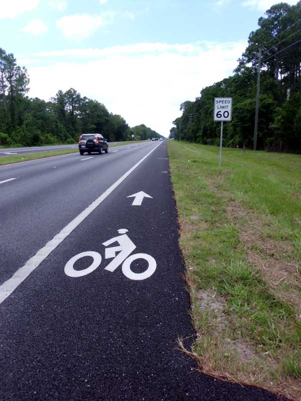
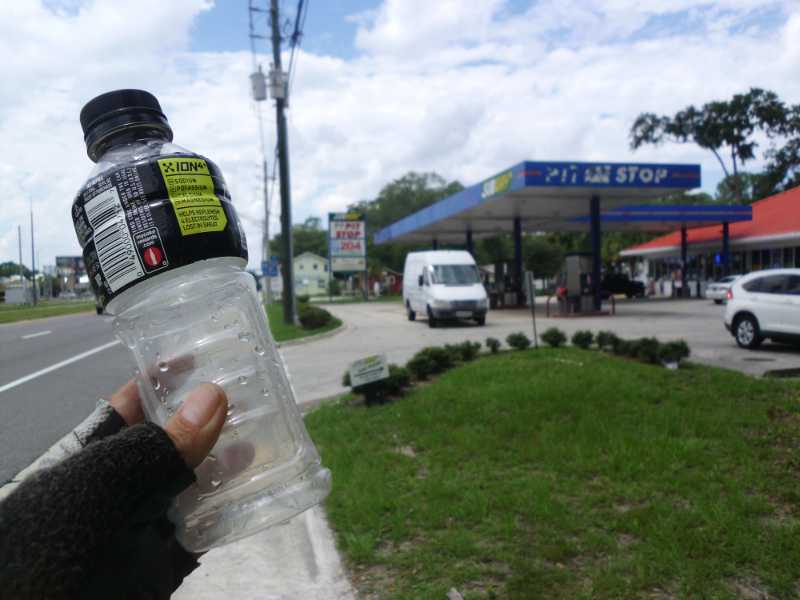
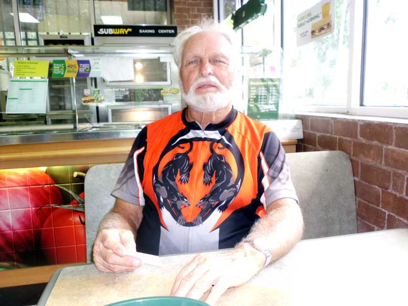
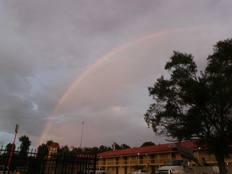
Thankfully, the brush path was only a mile, but that was still an hour. It connected to a better dirt road. Google Bike Maps seemed to think there was only a single road, so at every fork, I had to determine by trial and error whether I was staying on route.I saw a truck with one person coming my way, the only one after the parking lot. It was fairly clear that even hikers had not been on the path I took. The one highlight was that I saw this live tortoise. It was maybe 12-14″ long. I took a video (not shown here).The road improved to packed limestone. That must have been how the truck got there. I knew that I must have been close to the exit at that point.A few miles down the road, there was a service gate. The gate was locked, but the Google route went through it. There was fencing on the side. I tilted my bike, and was able to limbo under the gate.On the other side of the gate was a nice paved road, but traffic was heavy, as it was just about the only road off the island. There was no shoulder, so I decided to cross the ditch on the far side of the road to the sidewalk. It took quite some time to find enough of a gap in the traffic to get across.Google directed me onto Hwy 214, but at the entrance, the sign said “No Bicycles.” I circled around the area to see if there was a frontage road, but could find none. I disregarded the sign and went down 214. It was fine – good shoulder, and no different from a hundred other highways on the ACA route. I came to the junction with Highway 1, which had a shield, indicating it was a state route. I realized that if I had just jumped on route 1 at St. Augustine, I would have been at the motel long ago.I wondered whether I would be allowed on Hwy 1, but not only was I allowed, there was a formal bike lane! From there, I knew that everything would be all right.I completely used up my water, even the reserve bottle, and there were no places to refill along the way. Fortunately, just after taking my last sip, this gas station appeared after just a couple miles.Outside the station, I saw a Cannondale bike. Inside, I met Jim, a 76-year-old cyclist who was having lunch. He had 4 bikes, down from 13, and had built the Cannondale fixie from the ground up. He said he did about 100 miles a week. We had a lot of common ground, as he once fixed things, too. In the Navy, he fixed crypto modules. He was also stationed in San Francisco for years.I reached the Knight’s Inn at about 5 pm. a 7 hour trip, for what Google said should be about 3. This is actually not my motel, but the one next door – the rainbow just made for a nice picture.
The Knight’s Inn was about $57 a night, including tax, and I simply signed up for 3 nights. Too tired to think about bargains. The room is nice.
Miles today: 36 estimated. Cyclometer flooded. Includes 3 miles of pushing bike over sand, and 7 miles of dirt road.