Rose City, MI
July 12, 2010 10:03 am
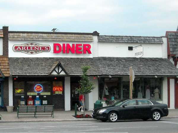
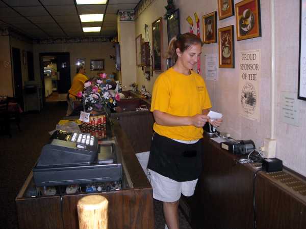
About to leave Gaylord. Might check for a CO-OP ATM here, but our cash supply is still good. We had breakfast at Arlene’s Diner. On a bike trip, a lot of the pictures are food, since most of our stops are for that, so I won’t bore you with more pictures of us eating.
July 12, 2010 11:49 pm
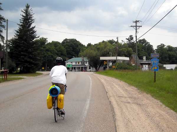
Our original goal for the day was Rose City, but upon studying the Michigan map, it seemed that West Branch would be a better destination. All we had to do was jump on county road F97, a paved secondary highway which would take us straight there.
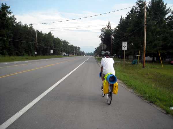
The day started out well. We left Gaylord before 11. The road was smooth and fast; we were averaging about 16 mph. We got to Johannesburg, where the lady at the store gave us advice on how to get to F97. That was also smooth and fast. Then we came to county road 610. I looked to the left, and looked to the right, and there was nothing. So we continued straight. The road got worse and worse, eventually becoming sand several miles down. That’s when we came to this junction.
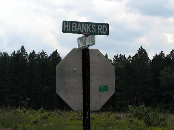
I looked at the map. There was no clue as to which fork was F97. In fact, F97 was supposed to be paved. Which route would you have taken? Or would you have gone back, several miles over sandy road? Even if this wasn’t F97, there was a hope that it would connect to a paved road further on down. “Hi Ridge” sounded slightly less steep than “Bald Hill,” so we took that route. Two miles down the road, the sand became unrideable. And we encountered this:
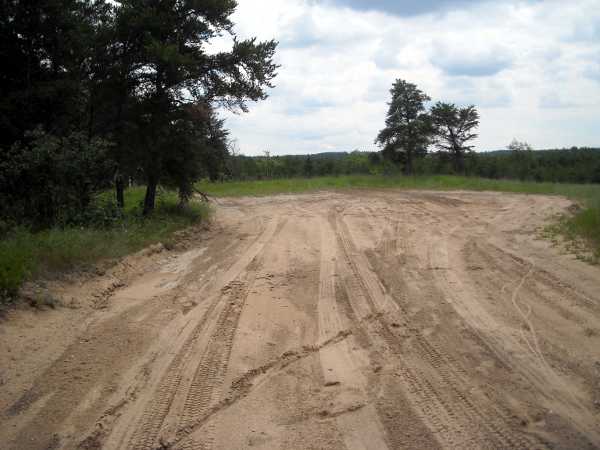
We had no choice but to walk the bikes back to the rideable portion, then slog all the way back to the pavement. I said this before, but let me repeat it for emphasis: Michigan road signs suck!
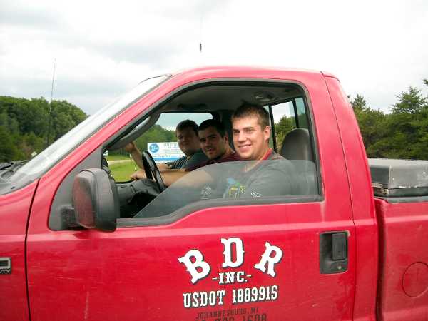
Ok, so we were at county road 610 again. Which way to go, left or right? Nothing was visible in either direction. Fortunately, these guys were in a truck about to turn onto the road. I asked them for help, and they gave a key piece of information: there was a gas station just a few hundred yards away, around the bend.
At the gas station, there was a sign on the road saying F97 South. Thanks, Michigan. I told the woman at the gas station store that if there was ever a fund set up to put a sign at the junction, I would gladly donate to it. For that matter, if I lived there, I would have gone to the hardware store and spent $5 on a some wood and made my own sign. Even a little 12″ square “<- F97” would have done it. Either that, or I would put a sign 5 miles down Hi Ridge Road at the dead end, saying, sucker.
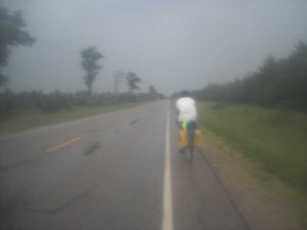
After having some refreshments, I checked the time on my cell phone. What was it – 2 pm? It was 4 pm!! We had burned over two and a half hours on that sand. Even though we knew where F97 was, West Branch, 55 miles away, looked out of range. I asked others at the store about options, and one gentleman suggested that our best bet might be Mio (MY-oh). He said there were motels there, and it was about 30 miles. That seemed possible. It pretty much rained all the way to Mio, but at least it was paved, and we didn’t get lost. We were thankful that it didn’t rain earlier, when we were on the sand, because that would have turned to mud.
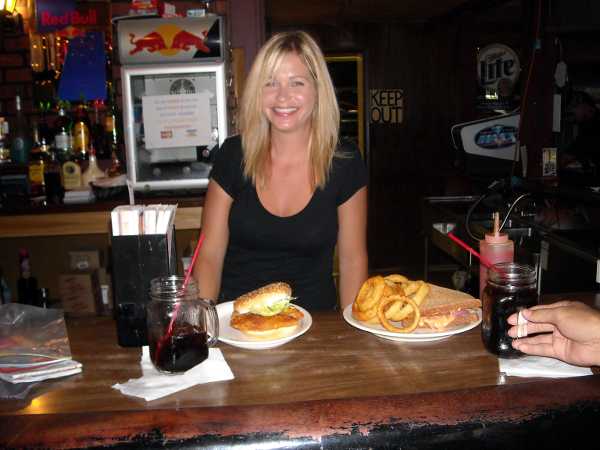
We saw no gas station at Mio, and the only option for food was Big T’s Roadhouse. It was 6:18 pm. There was a questionable fellow smoking in the doorway, who did not move until the last second as we approached. He turned out to be all right. We ordered sandwiches at the bar, but there was only the bartender serving the many customers, and also cooking, so it took 40 minutes to get our food.
Two guys sitting near us at the bar had some useful tips. Cory said it was 16 miles to Rose City, and that there was camping behind the bar and grill there. I was more interested in a motel, and he said there was only one in town, the Scenic Motel, just go all the way through town. Jerry filled us in on a little of the history of the town. Mio was originally area M-10, owned by a lumber company.
We left Big T’s at 7:30, and surprisingly, the rain had stopped and the road had already dried.
It would have been an easy run to Rose City, except that Elliot got intermittent gas pain about 12 miles before the city, and the map showed no other towns on the way. We considered a bathroom at a National Forest Campground, but those were generally 1 mile from the highway, down sandy roads. Fortunately, at 8:20 pm, we came upon a Huron National Forest Trailhead parking lot, with a bathroom. After that, there was no trouble for the remaining 7 miles to Rose City.
We arrived at the Scenic Motel just before sunset. So we made it to Rose City, after all. Mileage for the day, 82.8. It could count as our hardest day, since a lot of the time was spent on sand.


