The next day, I screamed down highway 96 with a strong tailwind pushing me. The map said that I should be going east, but I read northeast on my compass.
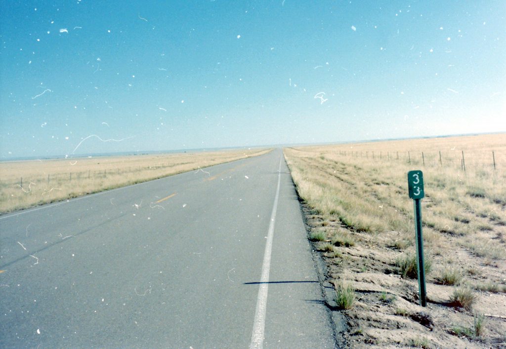
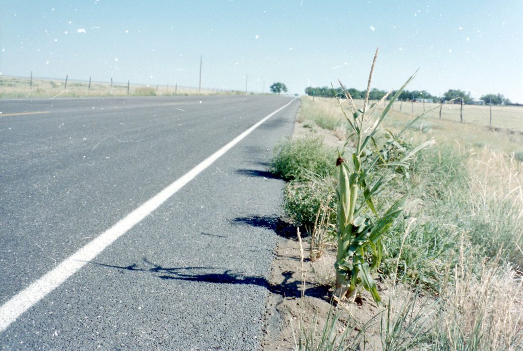
After a sufficiently long stretch of road with no signs, every cyclist begins feel uneasy about whether they are going the right way. I was a textbook case of Signless Road Paranoia. Finally, 46 miles down the road, I came to a junction. I had missed the turn onto 96; I had gone onto route 71, quite the wrong way. That wonderful tailwind that had been squarely at my back suddenly became the most awful curse in the world.
all the time i was going, i was looking for a sign confirming that i was on the right road. it was actually 35 miles down the highway that i saw the first sign marking it as 71. there was no gps in those days.
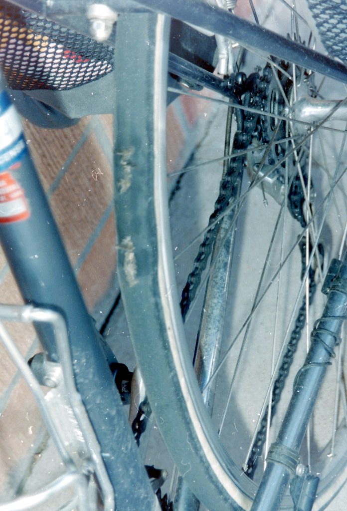
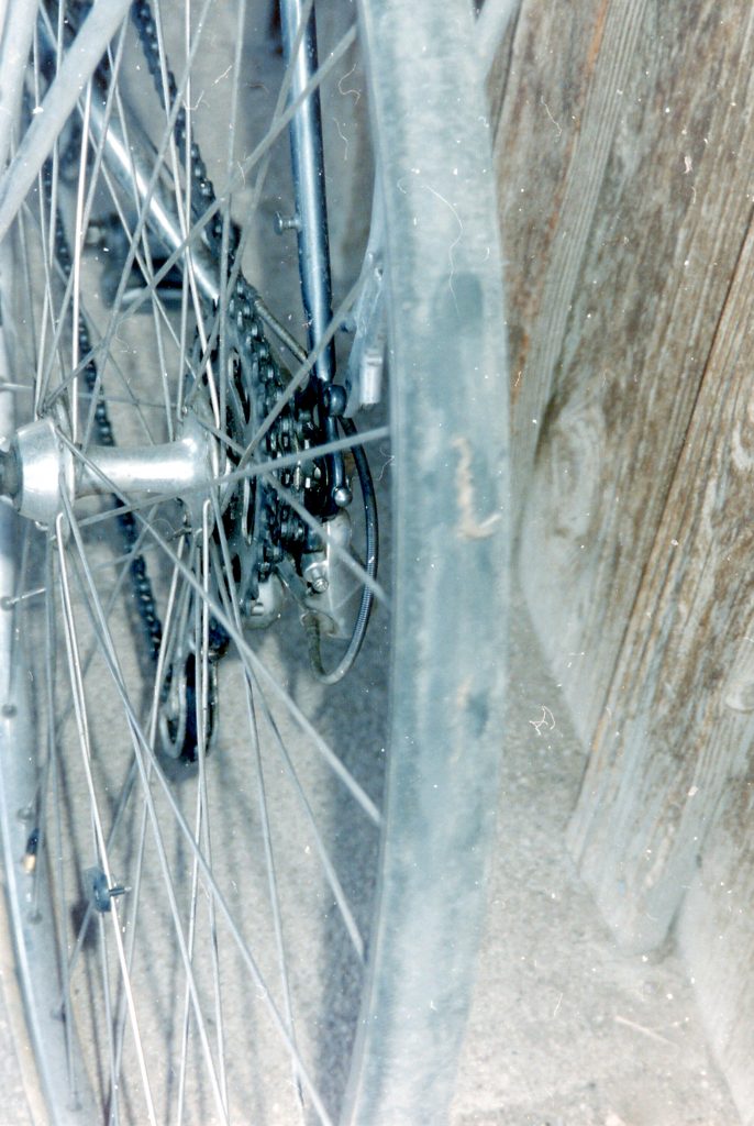
I had gone out of the boundaries of the panel on the BikeCentennial map, but fortunately, I also had a state map. My best bet seemed to be a nearby town called Arroyo. It was just past noon, and the hottest part of the day was upon me. To make matters worse, I noticed that my rear tire was starting to wear through. There were several splits.
it was at punkin center that i decided to head east on hwy 94 for arroyo junction.
As I approached, I realized that Arroyo Junction was a place, not a town. There were no buildings, nor was there any water. My water supply was getting low. I headed for Wild Horse, which, to my good fortune, had a gas station. It was amazing how much a person touring on bicycle relies on gas stations.
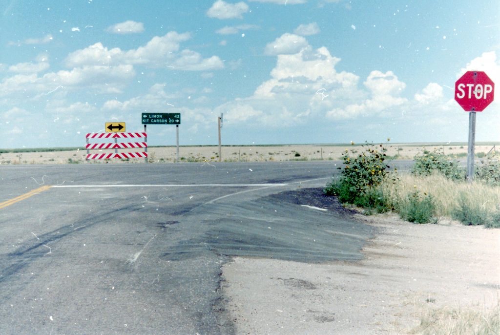
By then, it was late afternoon, and Eads looked like the best place to stop for the night. It was only 20 miles away, but on account of a vicious headwind, the segment took me two and a half hours. I was pounding hard, too, because there was an imminent thunderstorm just a few miles east.
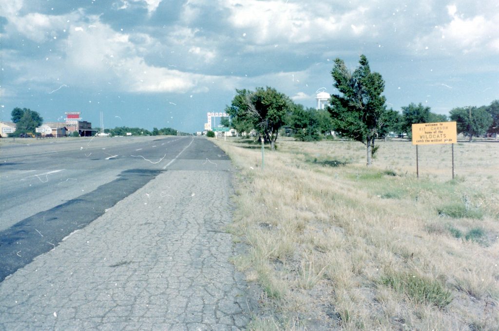

Using an old science trick, I timed the delay between lightning and thunder to determine that the storm was 2 miles away, when I was 4 miles from Eads. The gusts were really starting to pick up, buffeting me and my bike as much as three feet to either side. A woman in a tiny, packed car stopped and offered me a ride into Eads. I couldn’t imagine how I could get the bike into that car, so I declined.
It was a race between me and the storm. About 3 miles out of Eads, I spotted the city lights and drew inspiration afresh. It was getting dark, but at least I could see my target.
Once in Eads, I called the Baptist Church, which put up cyclists at no charge (although donations were accepted). Pastor Eddie Free welcomed me and showed me around.

The Lord was with me that night. There was a 24-hour restaurant in town. I sat down to replace the calories I lost in the hard 125 miles that day.
Pastor Free was especially kind, even for a Midwesterner. He offered to drive me more than a hundred miles the next day to get a replacement tire. I declined; that gift would have been too great.